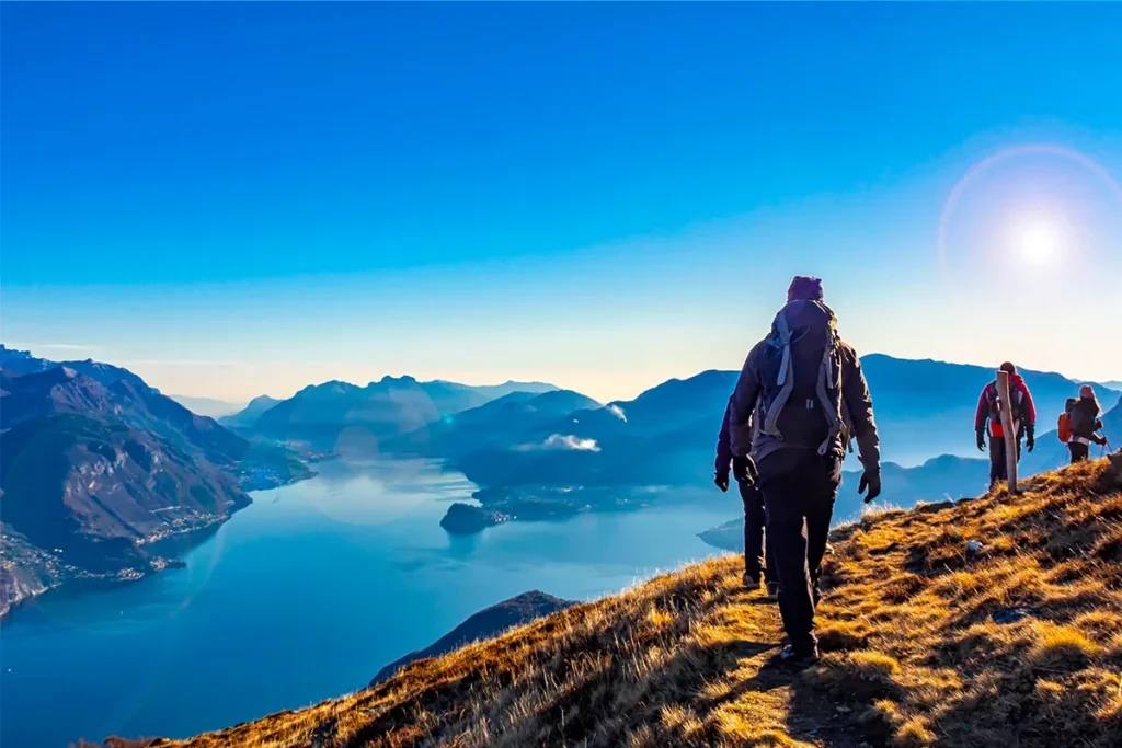
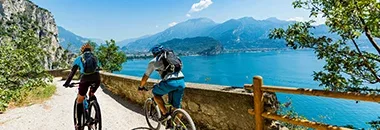
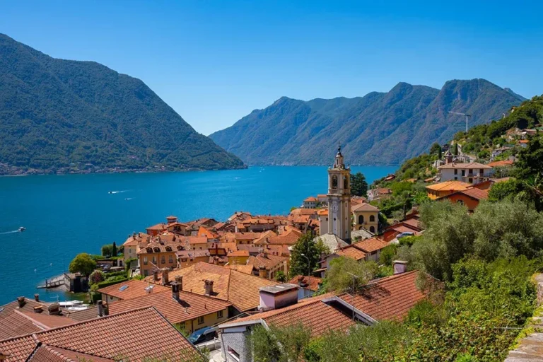
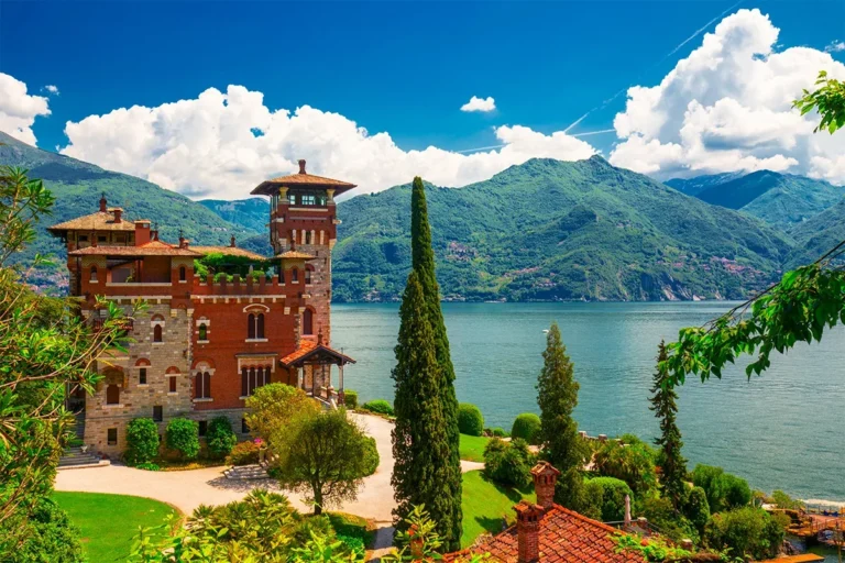
Okay, so you want to lace up your hiking boots and hit the trails around Lake Como, huh? The Lake, located among the foothills of the Alps, is not just a playground for the rich and famous. It’s also a hiker’s paradise, with a ton of trails to suit every skill level, from leisurely strolls to heart-pumping climbs.
You can hike up to ancient villages perched on the mountainside, or follow trails that lead to hidden waterfalls and crystal-clear lakes.
And let’s not forget the food! After a day of hiking, you can reward yourself with a delicious meal at one of the many restaurants along the lake. In this guide you’ll find various trails, from classic walks to unconventional ones, including mountain hikes.
Top Hiking Tours
Relax on a classic Walk
Lake Como also got a network of trails that’ll make your heart sing. I’m talking about classic walks that’ll have you feeling like a local, even if you’re just visiting. You’ll stumble upon charming villages, perched high above the lake, where time seems to stand still. No matter what kind of walker you are, Lake Como has a trail for you.
The main attraction: Greenway of Como Lake
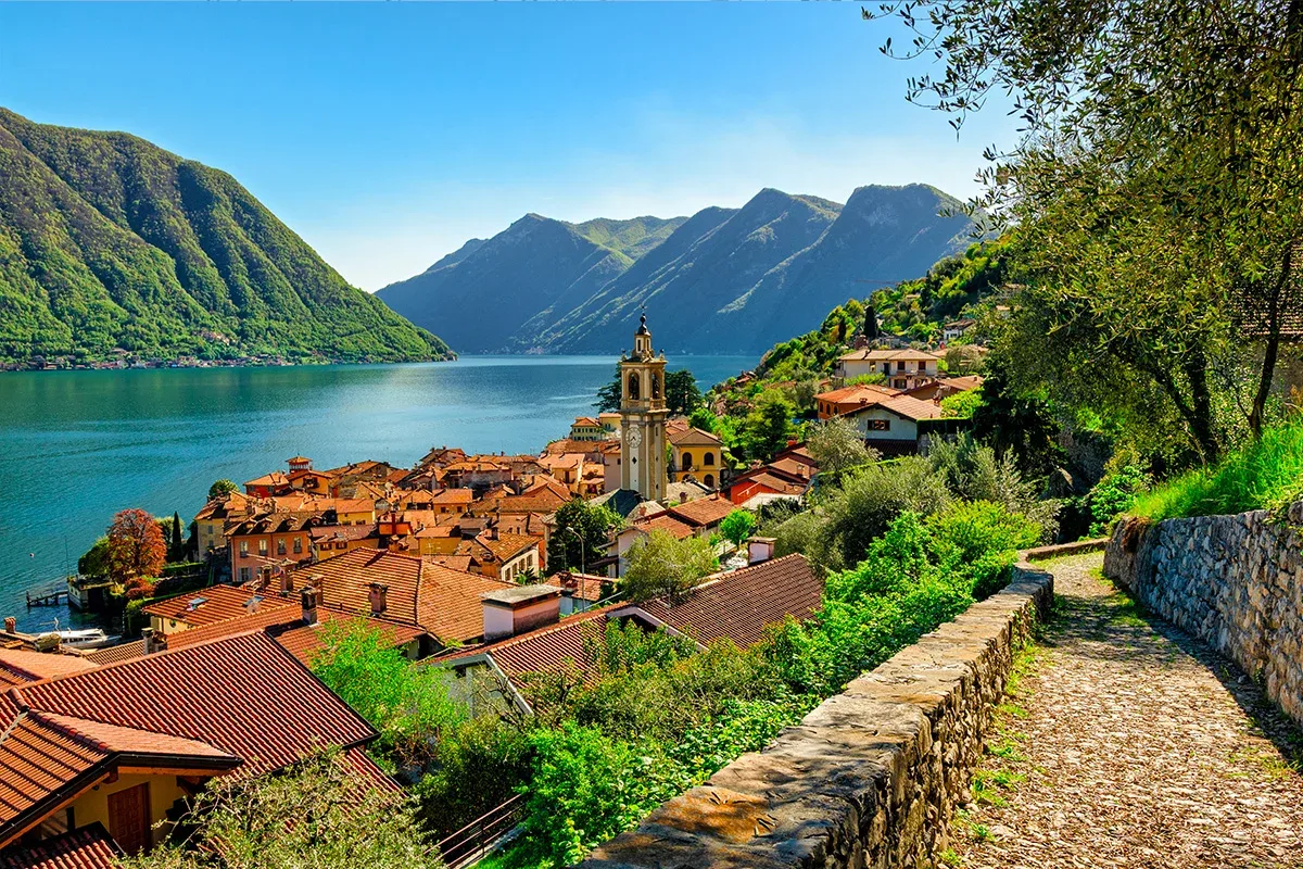
Alright, lacing up my hiking boots, I’m ready to virtually explore the Greenway Lake Como! This famed trail promises stunning scenery and a glimpse into the charming lakeside villages. But with various sections, how do you decide where to begin? Fear not, fellow adventurer, for this guide will unveil the captivating stages of the Greenway!
Stage 1: Colonno to Sala Comacina
Our journey commences in Colonno, a tranquil village at the southern tip of the Greenway. Lush greenery soon gives way to captivating lake views as we meander along the path. Keep your eyes peeled for the quaint village of Sala Comacina, a car-free island accessible by a short ferry ride.
Stage 2: Sala Comacina to Ossuccio
Feeling refreshed after our ferry ride, we continue our exploration towards Ossuccio. Traditional villas and historical landmarks dot the landscape, offering a glimpse into the region’s rich heritage. Be sure to snap a photo (or two) of the mesmerizing Villa Oleandra, a 17th-century estate steeped in history.
Stage 3: Ossuccio to Lenno
As we traverse towards Lenno, the trail winds its way through charming villages and serene olive groves. Keep an eye out for the beautiful Chiesa di Santa Maria Assunta, a captivating church boasting intricate frescoes.
Stage 4: Lenno to Mezzegra
Ready to ramp up the challenge? This stage features a steeper incline, but the reward is breathtaking panoramas of the lake. Mezzegra, known for its traditional stone houses and vibrant gardens, awaits at the summit.
Stage 5: Mezzegra to Tremezzo
The path continues to meander through peaceful woodlands, offering moments of tranquility amidst the natural beauty. Tremezzo, a village known for its lakeside promenade and grand villas, welcomes you with open arms.
Stage 6 & 7: Tremezzo to Griante
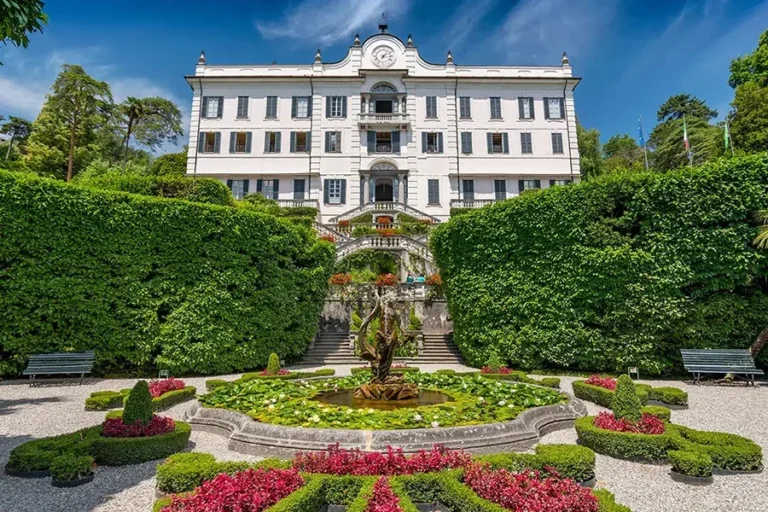
The final stretch takes you through the villages of Tremezzo and Griante. Explore the enchanting Villa Carlotta, a botanical paradise overflowing with colorful blooms and sculptures. As you reach Griante, the end of the Greenway, take a moment to savor the breathtaking panorama – a fitting finale to this unforgettable adventure.

Greenway is around 6,2 miles (10 km)
Sentiero del Viandante (wanderer trail)
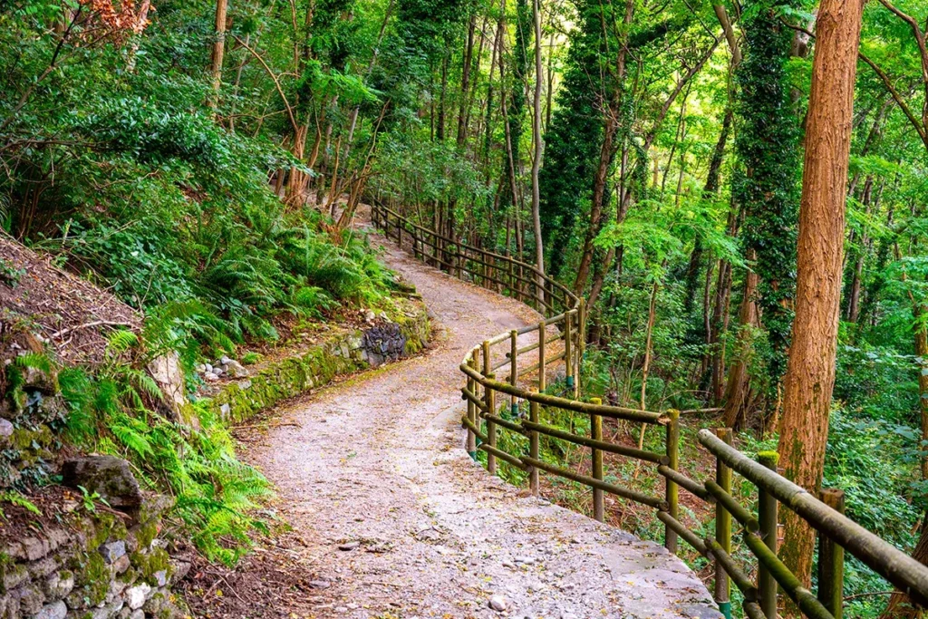
The Sentiero del Viandante is a hiker’s dream, winding its way along the eastern shore of Lake Como. This ancient mule track offers stunning views, and a chance to experience the true beauty of the Italian Alps. While there are some uphill climbs, the trail is generally considered moderate and suitable for most hikers. You can choose from several different starting points and finish lines, so you can customize your hike to fit your fitness level.
The entire trail is about 49 kilometers, but it can be broken down into shorter sections. The Sentiero del Viandante is typically divided into five stages: Lecco to Abbadia, Abbadia to Lierna, Lierna to Varenna, Varenna to Dervio, and Dervio to Colico. However, you can customize your hike based on your fitness level and time constraints.
➮ Discover all the secret of the trail with a guided tour.
The trail is well-marked with orange signs, making it easy to follow, and the best time to enjoy it is in spring, autumn, and winter, as the weather is cooler and the crowds are smaller. Ready to lace up your boots and embark on a memorable trek? The Sentiero del Viandante is calling your name!

(Full) Sentiero del Viandante is around 30 miles (49 km)
Via dei Monti Lariani
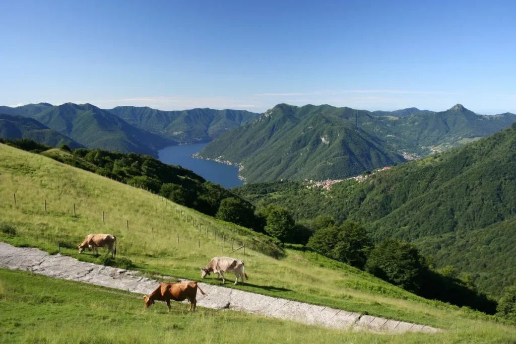
The Via dei Monti Lariani offers a unique opportunity to explore the stunning western shore of Lake Como while tracing the footsteps of ancient traders and soldiers. This long-distance hiking trail, part of Italy’s Sentiero Italia, winds its way through charming villages, lush forests, and dramatic mountain landscapes.
While the more famous Via Regina hugs the lake’s shoreline, the Via dei Monti Lariani takes a higher, more scenic route. This decision was made to ensure hiker safety and to preserve the tranquil atmosphere of the trail. After all, who wants to compete with traffic for the best views?
This trail isn’t just about the physical journey; it’s a walk through history. For centuries, the Via dei Monti Lariani served as a vital trade route, connecting mountain villages with the bustling city of Como. Its strategic location also made it a key military route during World War I, with remnants of trenches and fortifications still visible in some sections.

Via dei Monti Lariani is around 77,6 miles (125 km)
Sentee di Sort
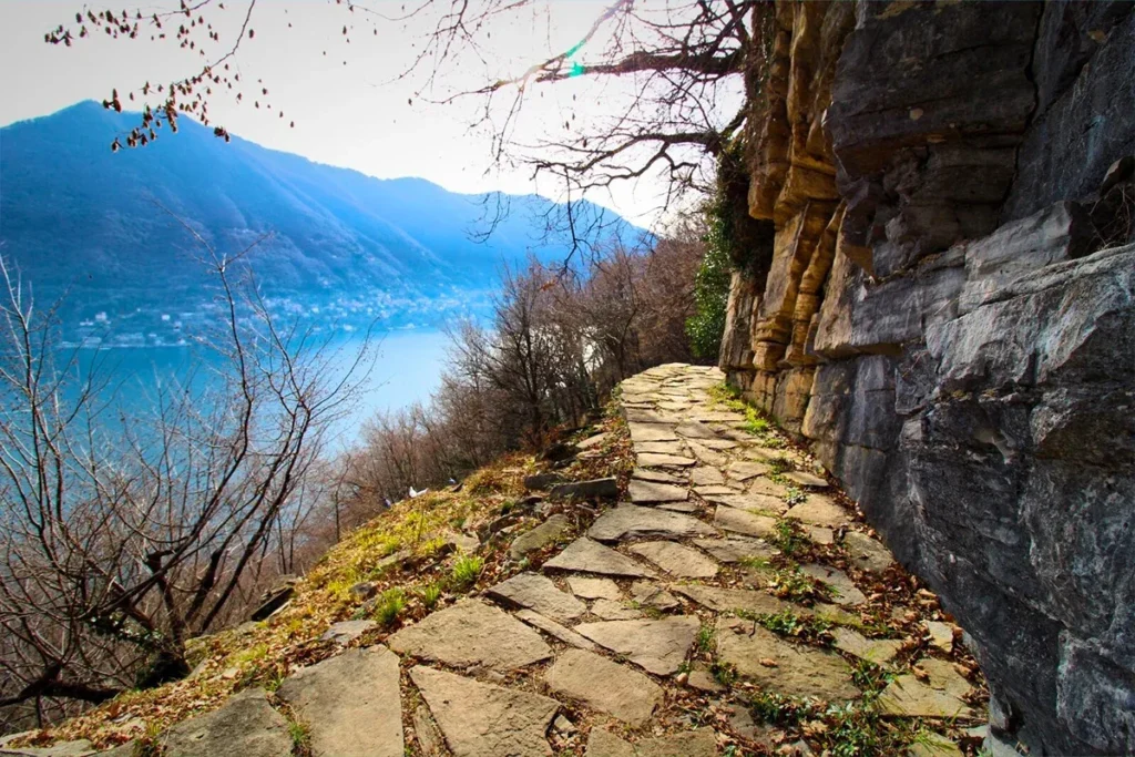
I’ve walked this path a few times now, and each time it feels like discovering a hidden gem. The trail is relatively easy, making it a great option for families with kids (6 years old and up) or anyone looking for a leisurely hike. Get ready to snap some incredible photos. The panoramic views of Lake Como and the surrounding mountains are simply breathtaking.
Starting your hike is a breeze. Just drive to Rovenna and park at the cemetery. You’ll find a clearly marked trailhead with a yellow sign. Follow the path, keeping to the left at any junctions until the trail becomes single. Walking this trail includes a touch of history, you’ll pass by ancient quarries where the famous pietra di Moltrasio was once extracted.
At the end of the trail, you’ll be rewarded with a visit to the Cascata di Cam, a charming little waterfall. While the trail is accessible year-round, it’s best to avoid hiking during heavy rain or snow. Furthermore, the trail can be narrow in some places, so watch your step, especially if you have children with you.

Sentee di Sort is around 1,5 miles (2,5 km)
Get packed for some Mountain Adventure
Now, there are a ton of trails to choose from, ranging from easy strolls to challenging climbs. Legnone is a popular choice for hikers. It’s a good workout, but the reward is worth it. For a more serious challenge, try tackling San Primo. This towering peak offers some of the most breathtaking views in the region. If you’re looking for a quieter, less crowded hike, consider Galbiga. This lesser-known peak path is well-marked and relatively easy to follow.
Monte Legnone
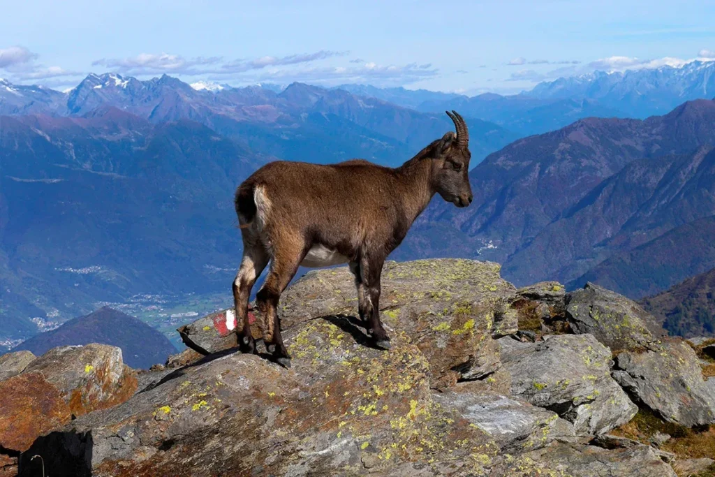
Ever dreamed of standing on top of the world? Well, while I can’t promise you’ll feel quite that lofty, hiking Monte Legnone will definitely give you a sense of accomplishment. This towering 2610-meter peak, the westernmost point of the Orobie Alps, is a hiker’s dream. Despite its imposing stature, Legnone is surprisingly accessible and offers some of the most breathtaking views in the entire region.
Before we get our boots dirty, let’s talk a bit about this mountain’s past. Legnone played a strategic role during World War I. The Cadorna Line, a massive fortification system built to defend against a potential Austro-German invasion, ran right through here. You can still see remnants of this military history along the trail.
The hike itself is a steady ascent, starting at the Roccoli Lorla Refuge (1463m). The first part of the trail is relatively gentle, offering stunning views of Lake Como and Lake Novate Mezzola. As you gain altitude, the terrain becomes more rugged, with some sections requiring a bit of scrambling. But don’t worry, even if you’re not an experienced climber, the route is well-marked and safe. One of the highlights of the hike is the Porta dei Merli, a mountain pass at 2129 meters. From here, you’ll get a glimpse of the Bivacco Silvestri, a small stone hut built in 1884 and named after Guido Silvestri, a former president of the CAI Dervio.

Monte Legnone trail is around 5 hours walk (round trip)
Monte San Primo
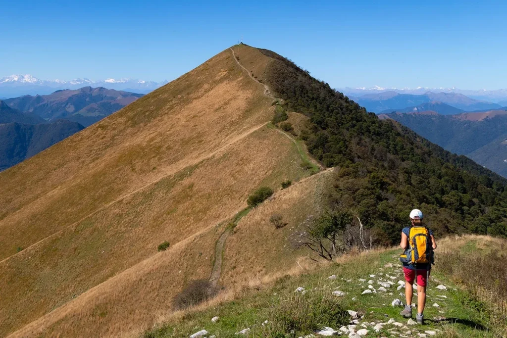
Let’s talk about hiking Monte San Primo, the highest peak in the Triangolo Lariano and a real treat for any hiker. Perched at 1685 meters, it offers a 360-degree panorama that’s simply out of this world. On a clear day, you can see as far as the Alps and even catch a glimpse of the Apennines.
The easiest route starts from Piano Rancio, a short drive from Canzo. After leaving your car at the lift station, you’ll begin your ascent towards Alpe Borgo. This initial stretch winds through lush meadows, offering a gentle warm-up for what’s to come. Once you reach Alpe Borgo, the trail veers right and starts to climb a bit more steeply. After about 50 minutes, you’ll emerge from the trees onto the shoulder of Monte Ponciv. From here, you’ll join a broad ridge that leads you west, towards the summit of Monte San Primo.
You can either follow the well-marked path that gently climbs along the mountainside, or you can opt for a slightly more challenging route along the ridge. The ridge path offers stunning views but be prepared for some ups and downs. Both options take around 1 hour and 30 minutes to reach the summit. Once you’re at the top, take a moment to soak in the incredible view. You’ll feel like you’re on top of the world! After catching your breath, retrace your steps back down the mountain.

Monte San Primo trail is around 2h30m (round trip)
Monte Galbiga
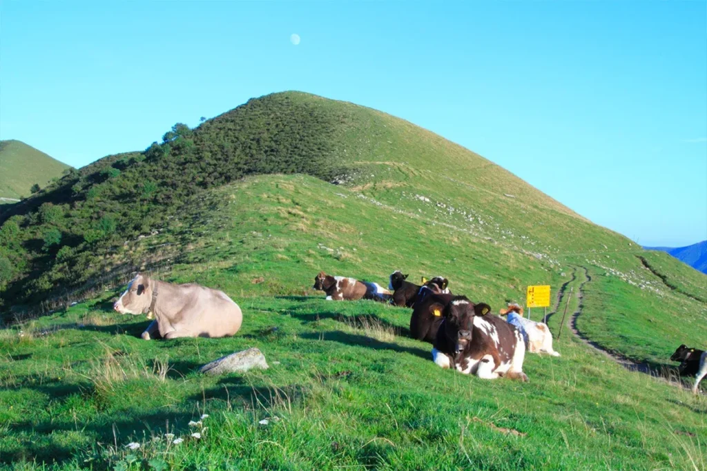
Last time I was on monte Galbiga we kicked off our adventure at the Rifugio Venini, a cozy mountain hut perched at 1576 meters. From there, it’s a leisurely 20-minute stroll up a well-marked path to the summit of Monte Galbiga (1698 meters). Don’t be fooled by its modest elevation gain; the rewards at the top are huge.
Reaching the Rifugio Venini is pretty straightforward. Drive to the village of Pigra and follow the signs to the refuge. The road is paved but narrow and winding, so take your time. There’s a parking area near a local farm where you can leave your car.
The hike is perfect for beginners or those looking for a short but satisfying trek. The path is well-maintained, making it a great option for families or those with limited time. While the views are undeniably spectacular, one of the things I love most about Monte Galbiga is its peaceful atmosphere. It’s the perfect place to escape the crowds and reconnect with nature and with the numerous animals (especially cows) that graze free.

Monte Galbiga trail is around 1 hour (round trip)
Discover yourself on these unconventional paths
If you’re looking to escape the crowds and experience a more unique side of Lake Como, then you should definitely consider hiking the Sentiero delle Vasche and Sentiero delle Espressioni. These two trails offer a fascinating journey through nature and art, taking you through a series of water basins and sculptures.
Sentiero delle Vasche (vasins trail)
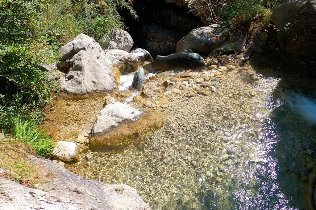
The Sentiero delle Vasche (Path of the Pools) is not your average hike. This trail, nestled in the heart of Lake Como, is a wild adventure that will test your balance and leave you with unforgettable memories. You’re following a gurgling stream, hopping from rock to rock, and squeezing through narrow passages. The path is lined with lush greenery and the sound of cascading water is your constant companion.
The Sentiero delle Vasche is a challenging hike that requires a good level of fitness and a head for heights. The trail is equipped with chains and ladders in some of the more technical sections, and there are a few spots where you’ll need to use your hands as well as your feet.
While this hike can be a lot of fun for kids, it’s important to be realistic about their abilities. The trail is not suitable for young children or those who are afraid of heights. Start your adventure in Valmadrera, where you’ll find plenty of parking and a clear trailhead. From there, it’s a short walk to the beginning of the Sentiero delle Vasche. Follow the trail as it winds its way through the gorge, and be prepared to get a little muddy!

Sentiero delle Vasche is around 4,3 miles (7 km)
Sentiero delle Espressioni (expressions trail)
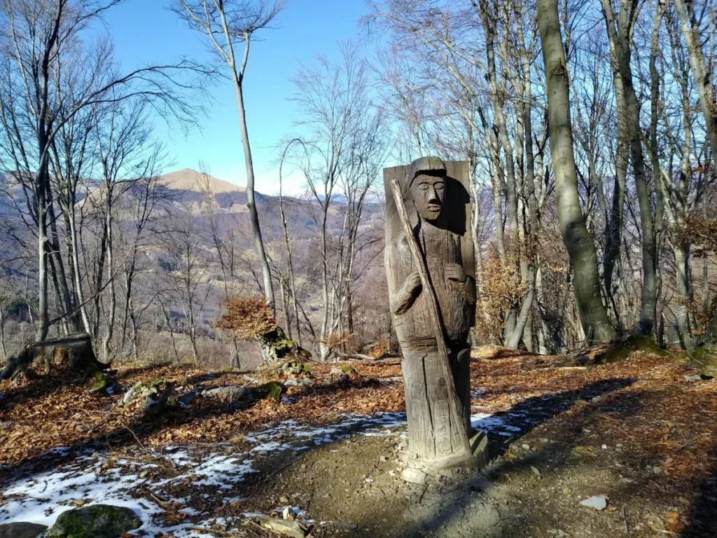
Ever wondered what a forest would look like if it hosted an art gallery? Well, the Sentiero delle Espressioni in Valle Intelvi, Lake Como, is your answer. Imagine hiking through a lush, green forest and stumbling upon faces carved into ancient trees, each one telling a unique story. That’s exactly what awaits you on this magical trail.
Born from a collaboration between local authorities and artists, this trail is a delightful blend of nature and human creativity. Carved into the bark and trunks of trees, you’ll find a series of sculptures, each one a testament to the expressive power of art. It’s like the forest has come alive, with the trees themselves wearing masks of emotion and wisdom.
So, why should you add the Sentiero delle Espressioni to your Lake Como itinerary? Because it’s not just a hike; it’s an experience. It’s a chance to connect with nature in a truly unique way. And let’s face it, how often do you get to say you’ve been hiking through an art gallery?

Sentiero delle Espressioni is around 4,6 miles (7,5 km)
Routes recap
- Main Walks: Greenway, Sentiero del Viandante, Via dei Monti Lariani, Sentee di Sort
- Mountain Adventures: Monte Legone, Monte San Primo, Monte Galbiga
- Unconventional Path: Sentiero delle Vasche, Sentiero delle Espressioni
Ready to explore Lake Como beyond the tourist trail? Join a guided hiking tour and uncover its hidden gems. From scenic trails winding through lush forests to historic villages perched on mountaintops, you’ll experience the lake’s natural beauty and rich history.


